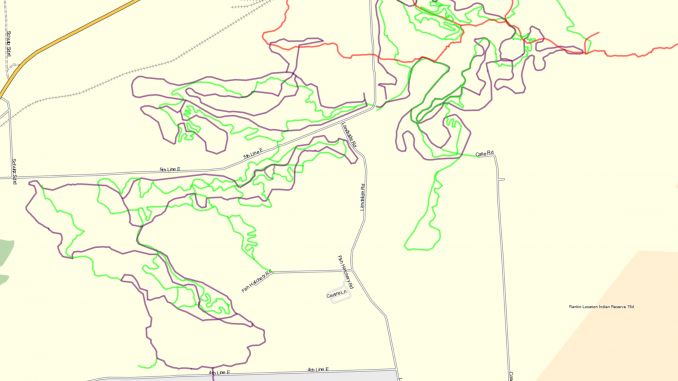
I created a project that outputs a trails map to overlay on the base map on Garmin Edge/Fenix/eTrex/etc. Being as I live in Sault Ste Marie, ON, I’ve loaded it up with many of my local trails. Currently it contains:
- All the OSFC Snowmachine trails
- All the Voyageur hiking trails
- All the Sault Finish Nordic Ski trails at Hiawatha
- All the Sault Cycling Club MTB trails at Hiawatha
- Most of the Ski trails at Stokely Creek
- Most of the MTB singletrack at Stokely Creek
- Some disused logging roads I found near Red Rock
- Some of the Farmer Lake trail system
- The singletrack at Finn Hill and the Sault College woodlot
- The fatbike trails at Crimson ridge
- The snowshoe/fatbike trails at Fort Creek
Todo:
- Finish the Stokely system
- Classify seasons that routes are passable
- Classify seasons that routes are permitted
- Classify types of vehicle that are permitted on routes
Download “SSMTrails Garmin Map”
gmapsupp-1.0.4.img – Downloaded 429 times – 288.50 KBOr clone the project over on gitlab.